
Multi-AUV survey
Concurrent deployment of multiple Seeker AUVs multiplies coverage per day at sea, capturing low-altitude imagery over complex terrain.
Learn more →Offshore Infrastructure
High-resolution, geo-referenced seafloor imagery around critical marine infrastructure — from offshore environmental impact assessment to cable and pipeline inspection.
Plan an offshore survey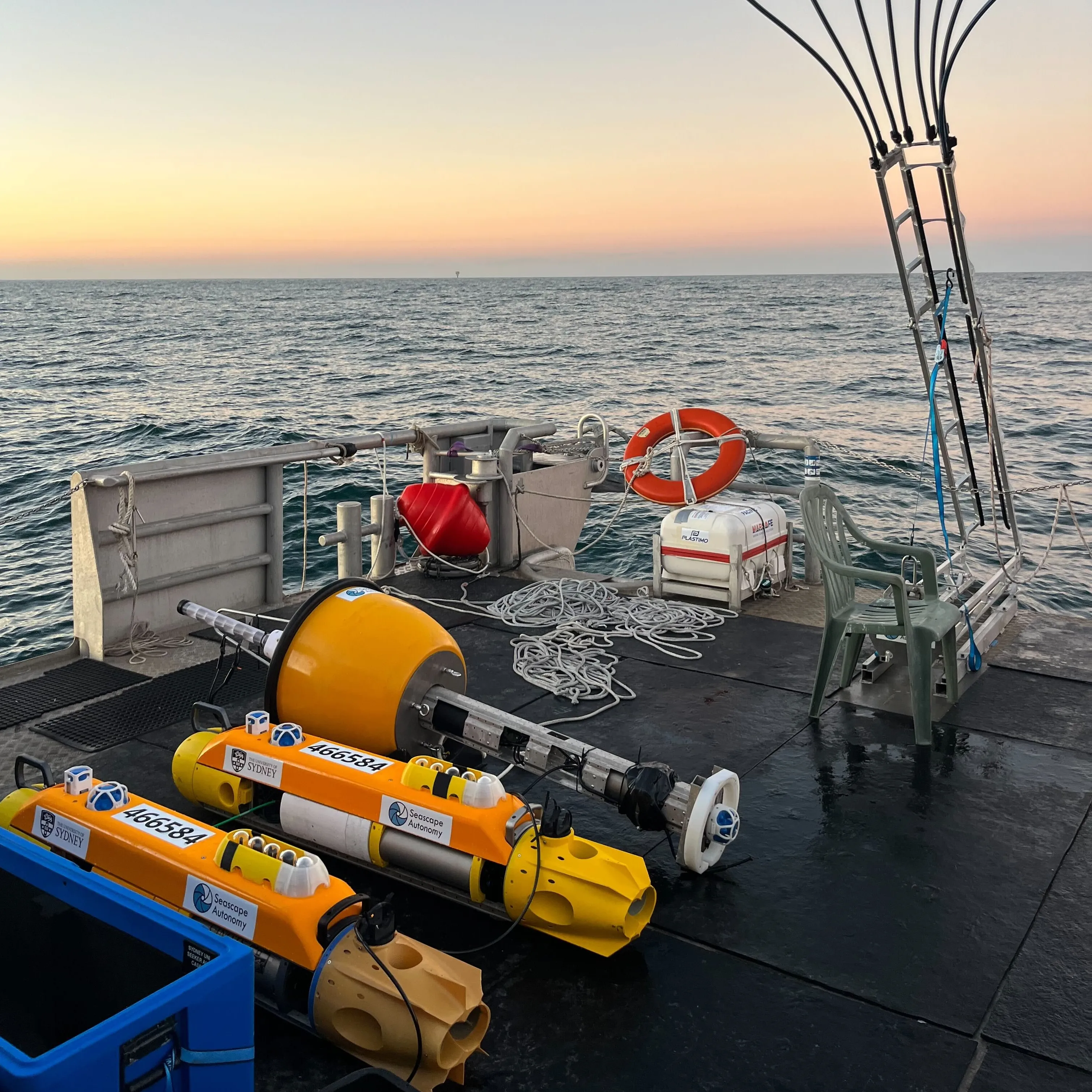
The challenge
Offshore developments need defensible environmental baselines and repeatable inspection data, collected efficiently from a single vessel and delivered in a form stakeholders can use.
How we help
Concurrent deployment of multiple Seeker AUVs multiplies coverage per day at sea, capturing low-altitude imagery over complex terrain.
Learn more →Synchronised stereo cameras with integrated lighting for detailed 3D imaging of pipelines, cables and submerged structures.
Learn more →Workflows that turn survey imagery into detailed, landscape-scale 3D models of the seafloor and assets.
Learn more →Imagery delivered into SQUIDLE+ for map-based exploration, human and machine-learning annotation, QA/QC and reporting.
Learn more →Applications
In the field
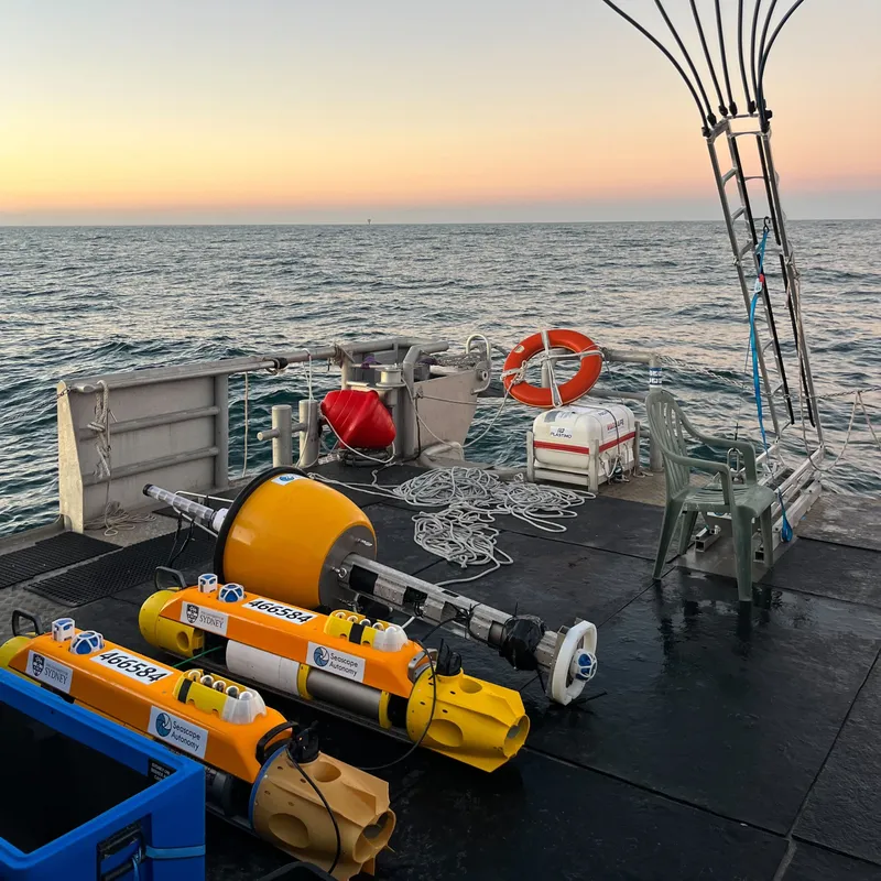
Environmental impact assessment for a future offshore wind development with Fathom Pacific and ERM — 75 dives and over 440,000 high-resolution seafloor images in three weeks at sea.
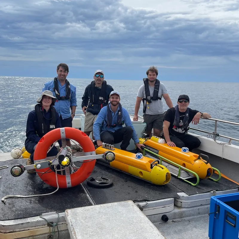
Multi-AUV surveys alongside Fathom Pacific in proximity to new offshore wind leases.