
Benthic imaging AUVs
Seeker AUVs capture low-altitude, geo-referenced imagery over rugged reef terrain, covering kilometres of transect per dive.
Learn more →Environmental Survey
Benthic imaging at scale for habitat mapping, long-term monitoring and fisheries — from shallow reefs to mesophotic depths.
Talk about your survey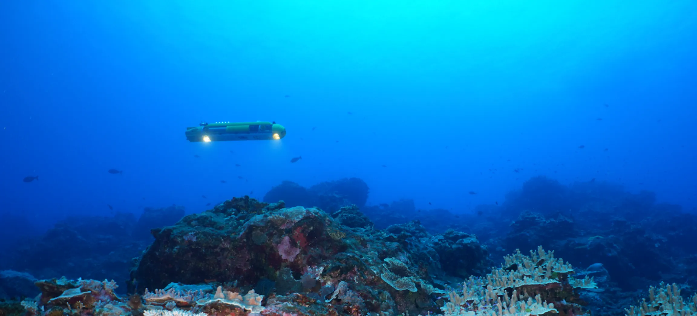
The challenge
The need for large-scale benthic survey is rapidly outpacing the capacity of conventional methods. Diver surveys are limited in depth, time and coverage. Traditional ship-based approaches fail to deliver consistent, high-resolution imagery over complex terrain, and are tied to a single instrument, which limits their scalability.
How we help
Seeker AUVs capture low-altitude, geo-referenced imagery over rugged reef terrain, covering kilometres of transect per dive.
Learn more →A surface buoy or ASV relays communications to coordinate and monitor several Seekers at once, decoupling the ship from AUV operations so coverage scales with the fleet, not with ship time.
Learn more →Detailed photogrammetric models of reefs and habitats, such as a 7,800 m² model of seafloor surveyed in Tonga.
Learn more →Discover, annotate and share imagery with collaborators, with integrated machine-learning annotation and QA/QC tools.
Learn more →Applications
In the field
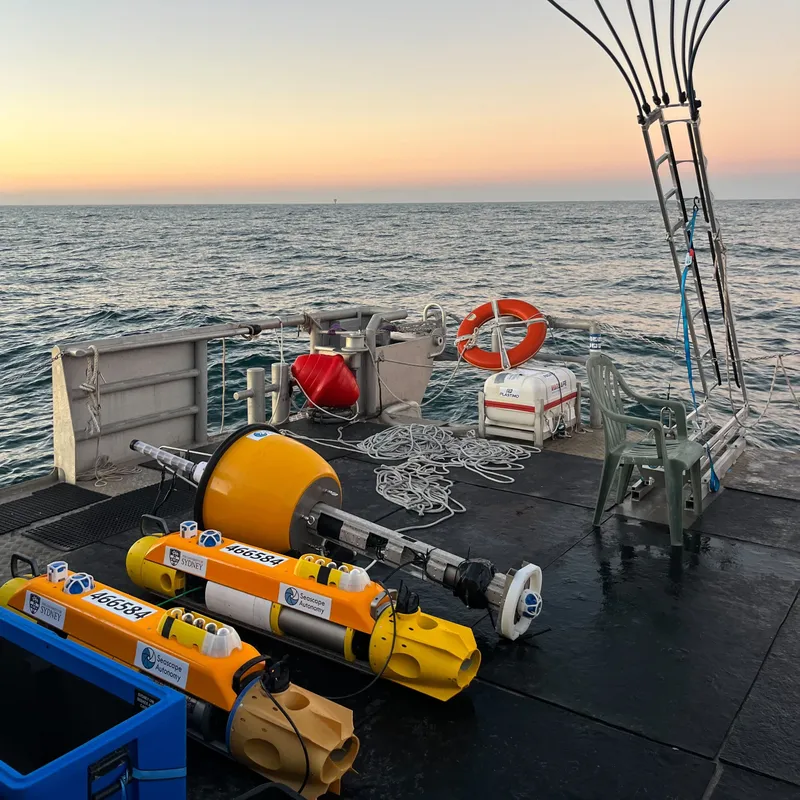
Environmental impact assessment for a future offshore wind development with Fathom Pacific and ERM — 75 dives and over 440,000 high-resolution seafloor images in three weeks at sea.
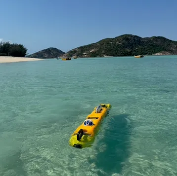
AUV and imaging-ROV surveys supporting a long-term reef monitoring program around the island.
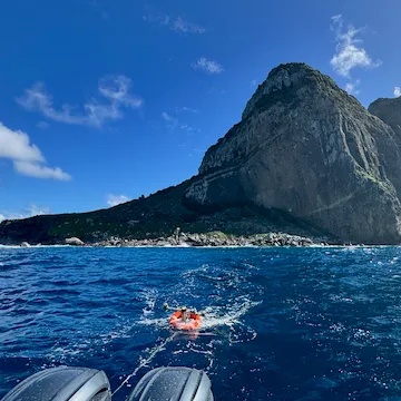
Reef surveys at 5–45 m for the Australian Museum-led expedition, each dive covering 1–3 km of transect.
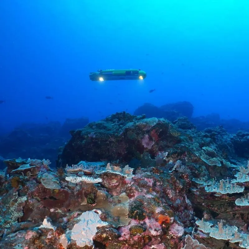
Two Seeker AUVs deployed alongside divers to document mesophotic reefs on rugged volcanic islands, supported by the Inkfish Foundation.