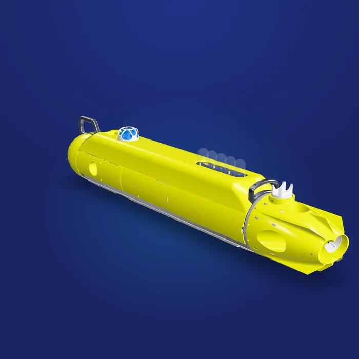
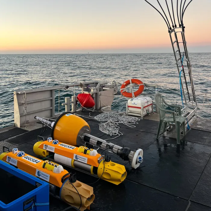
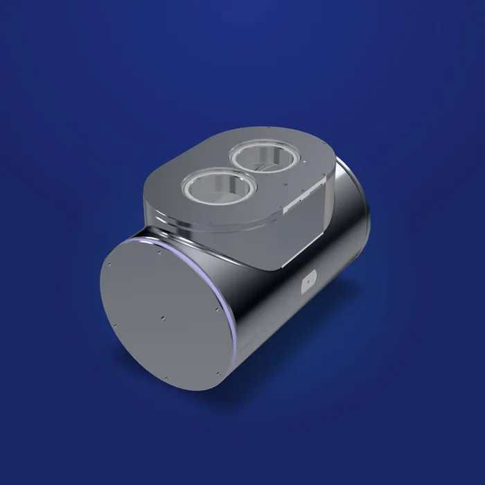
We have developed workflows that generate detailed 3D models of the seafloor from the imagery collected by our vehicles. The video below shows a model of a 7,800 m² area of seafloor surveyed in Tonga.
← All products
Data & software
Seafloor 3D Models
High-resolution, landscape-scale models of the seafloor. Workflows that turn survey imagery into detailed 3D models for measurement, monitoring and communication.
Survey replay
Real terrain, real missions
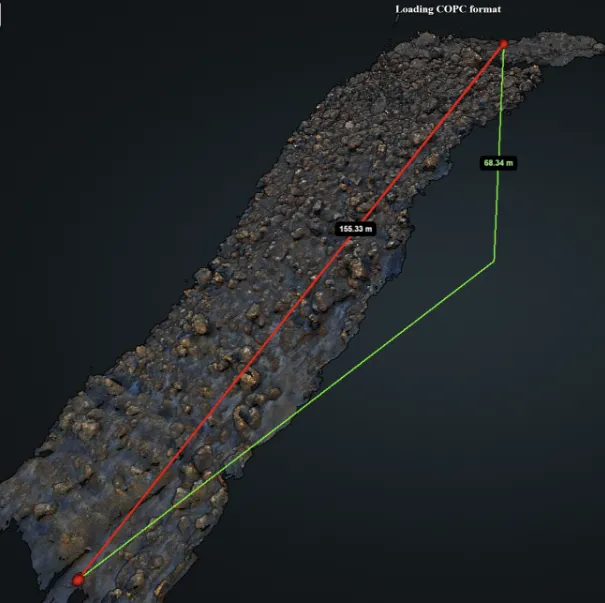
Replay real Seeker dives over a volcanic reef in Tonga. The terrain was reconstructed by stitching together multiple overlapping surveys, flown by two Seekers working in coordination, and shows the steep, boulder-strewn topography the vehicles follow at low altitude. The highlighted patch is what the camera sees.
The reconstruction streams in as tiles, loading finer detail the closer you look.
Loading survey…
Streams detail as you zoom0:00 / 0:00
Landscape scale
Models spanning thousands of square metres, built from AUV survey imagery.
Measurable
Geo-referenced models for measuring structures, habitats and change.
See it in action
Built for